brunswick place
Brunswick place
A row of cottages in Brunswick Street
This was a short row of five dwellings on the north side of Brunswick Street about 200 yards from the junction with Hendford.
To its immediate east was Brunswick Terrace.
Brunswick Place was demolished in the 1960s and the site is now the grassy bank opposite the entrance to Goldenstones.
map
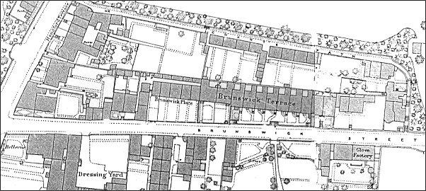
This map, based on the 1886 Ordnance Survey, shows Hendford running across the top left corner with Chant's Path running across the top half of the map and Brunswick Street running across the bottom of the map. Brunswick Place is just left of centre.
gallery
This
colourised photograph
features in my
book "Lost Yeovil"
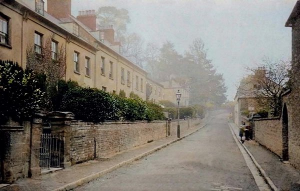
A postcard dated 1906 looking along Brunswick Street with Brunswick Place and Brunswick Terrace at left.
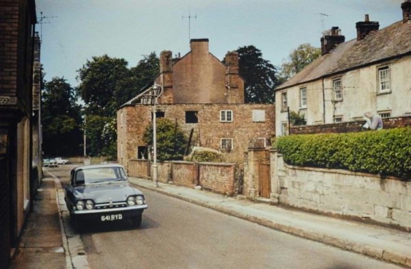
Brunswick Place at right, seen from Brunswick Street in a colourised photograph of the 1960s. The road at the far end is Hendford.
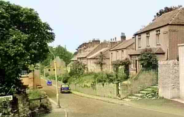
Photographed in the 1960s, this colourised photo looks along Brunswick Street towards Hendford with the steps to Chant's path at right and the entrance to Aldondale Gardens at left. Brunswick Terrace is the tall block of houses just left of centre with the next block to the left at a slightly lower level. Brunswick Place was the next block of houses to the left ending by the building on the road whose flank wall has three black windows.
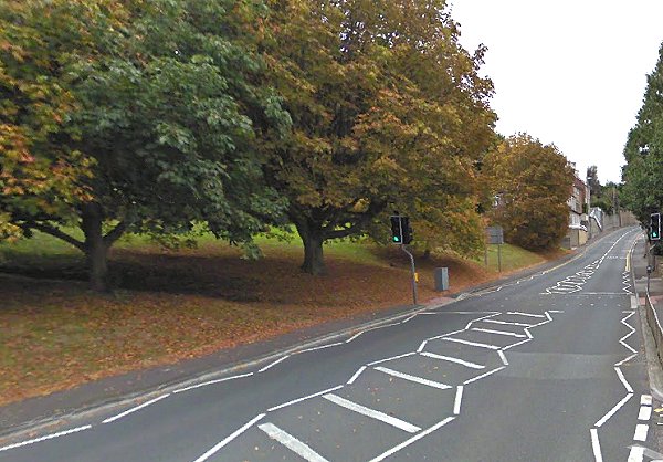
The site of Brunswick Place and Brunswick Terrace is this grassy bank opposite the entrance to Goldenstones. Photographed in 2012.