Great Tarratt
Great Tarratt
A field originally called Torren
Somewhat south of the junction of Dorchester Road and Hendford Hill was originally a large field called Torren. By 1704 a lease showed that it had been divided into "two closes of arable and pasture ground called Torren, upon Hinford Hill". Between 1719 and 1751 various deeds referred to "Furzey close lying at Hyndford Hill commonly called the Torrett". By 1832 the Register of Electors recorded it as Tarratt's and at this time it was owned by Charles Stephens who resided in Paradise Row in Huish.
It would appear that by the time of the 1842 Tithe Map, Tarratt had been divided into at least eight smaller fields, four of which retained the name Tarratt, in addition to Higher Tarratt, Lower Tarratt, Great Tarratt and Little Tarratt.
The
1846 Tithe
Apportionment
described
Great Tarratt
(Parcel 772) as
arable
measuring 8a 0r
0p and noted
that Charles
Parsons was the
owner /
occupier. Great
Tarratt was
bounded on the
north by
Little
Tarratt
(Parcel 772) and
Cocked
Hat (Parcel
774), on the
west by a field
access track, to
the south by
Higher Tarratt
(Parcel 770) and
Higher Ground
(Parcel 771) and
to the east by
Dorchester Road.
As seen in the aerial photograph of 1946 below Great Tarratt was arable, as it remains although today it is in the parish of East Coker.
For details on
historic land
measurement (ie
acres, roods and
perches)
click here.
MAPs & Aerial Photographs
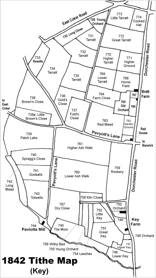
Map based on the 1842 Tithe Map with field names added from the 1846 Tithe Award. Great Tarratt is at top right.
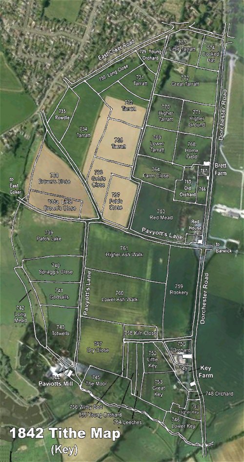
The 1842 Tithe Map superimposed over a modern aerial photograph of the area. Although the field boundaries do not align precisely, remember that the 1846 survey was undertaken by hand using primitive surveying equipment.
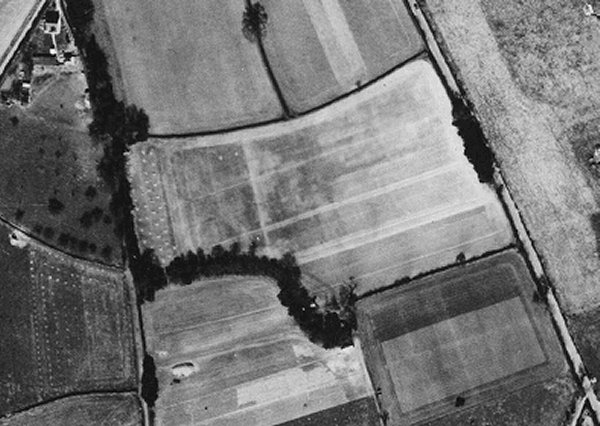
The 1946 aerial photograph with East Coker Road running from bottom left to centre top, Dorchester Road at top right and Little Tarratt Lane running between the two at the top. Great Tarratt is at centre but has lost its southwest corner to Higher Tarratt.
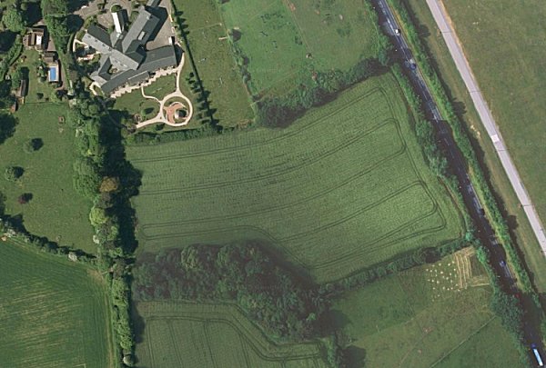
The modern satellite image of Great Tarratt at centre. St Margaret's Hospice is at top left and Dorchester Road runs down the top right corner. The line of trees seen running south from St Margaret's Hospice is the field access track which is still a very pleasant walk.
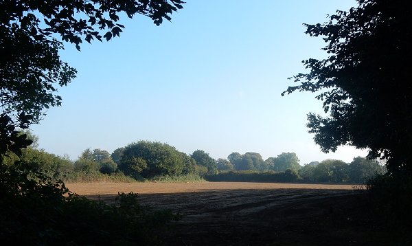
Great Tarratt seen from the field access track. Photographed in 2015.
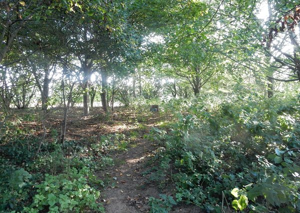
The new plantation planted in the southwestern corner of Great Tarratt and forming the boundary between it and Higher Tarratt seen from the field access track. Photographed in 2015.