PArk Row
Park Row
Early housing in Park Street
Park Row was a short row of five dwellings on the south side of Park Street, just east of the junction with Pen Hill. The houses are not shown on either Madeley's map of 1831 or Day's map of the same year, but are shown on Bidder's map of 1843.
They were
demolished in
the 1960’s as
part of the Park
Street widening
and today the
site is at the
side of the road
with a few
sparse trees.
MAP
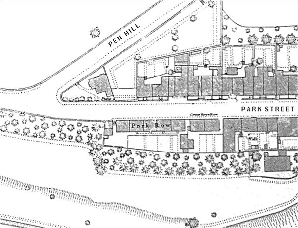
This map, based on the 1886 Ordnance Survey, shows the junction of Pen Hill and Park Street (although this section of Park Street was sometimes called Belmont). Park Row is seen at centre.
Gallery
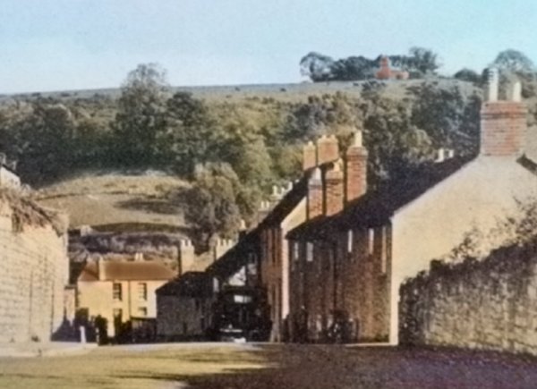
A colourised photograph of the 1960s, showing the cottages of Park Row at the right.