Penn Steps
Penn Steps
Connecting Park Street with Penn Hill
Originally known as Frogg Lane or Frogg Street, Park Street was laid out and built by Peter Daniell between 1825 and 1834 along the edge of his Penn House estate.
It appears that he built Penn Hill (the road) during the later 1830s, since the road does not appear on maps until the 1842 Tithe Map. The same map, by Edward Bullock Watts, also shows that Penn Steps, connecting Park Street and Penn Hill, had been constructed by this date - presumably also by Peter Daniell.
MAP & Aerial photograph
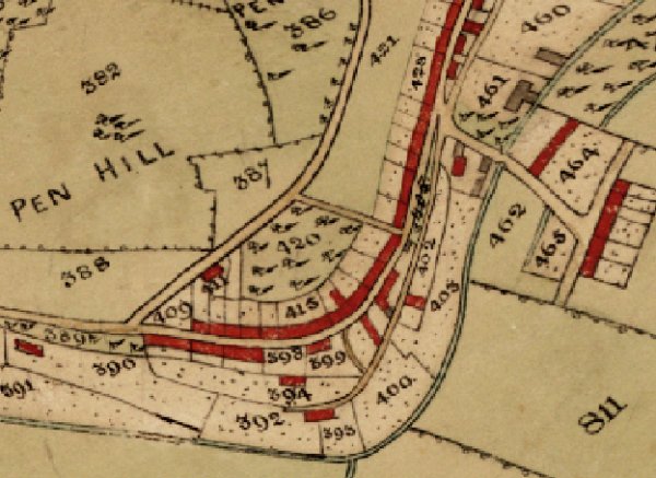
The 1842 Tithe Map showing Penn Steps, at centre between Parcels 420 and 431, connecting Park Street and Penn Hill.
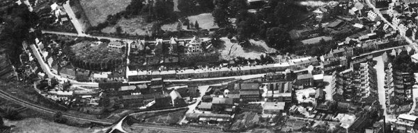
An aerial photograph of 1953 showing the whole length of Park Street running across the centre of the photograph from its junction with Penn Hill and Belmont at left (obscured by trees) to its junction with South Street at right. Left of centre, and running from Park Street to Penn Hill is seen the white line of Penn Steps.
gallery

The steps from Park Street leading to Penn Hill. In a colourised photograph of 1959.

From my
collection
Penn Steps in a colourised photograph of around 1960 by Yeovil photographer HA 'Jack' Cooper and produced as a postcard.
Courtesy of the
Swan Theatre
Company
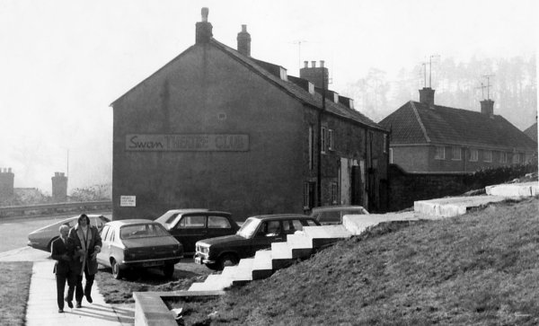
A photograph of 1974 (after the demolition of the house shown in photos above) showing the Swan Theatre Club (formerly the Swan Inn and now the Swan Theatre) as seen before construction began to create the theatre behind the existing building. Note too the Penn Steps alongside running up to Penn Hill.
Courtesy of
Chris Rendell
Penn Steps photographed in 1985.
Courtesy of
Colin Haine.
This photograph
features in my
book "Now
That's What I
Call Yeovil"
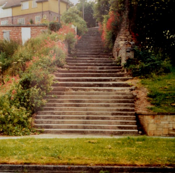
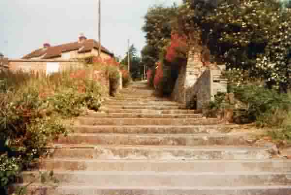
One of the few remnants of Park Street surviving today are the steps leading from Park Street up to Penn Hill and still offering wonderful views across to Summerhouse Hill from the top. Photographed in 1986.
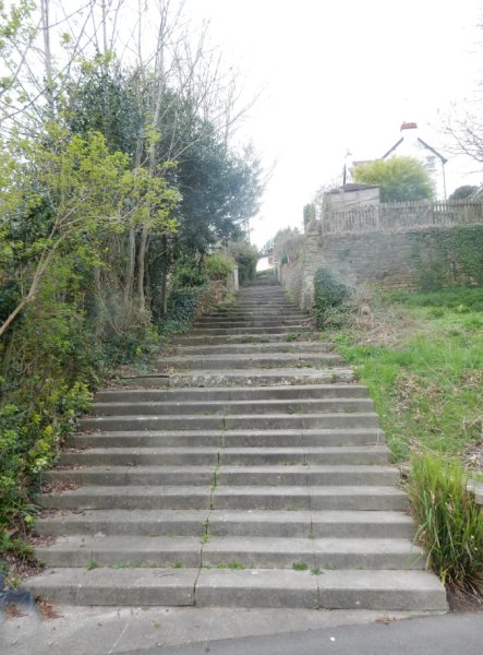
The view from the top of the steps, photographed in 2022.
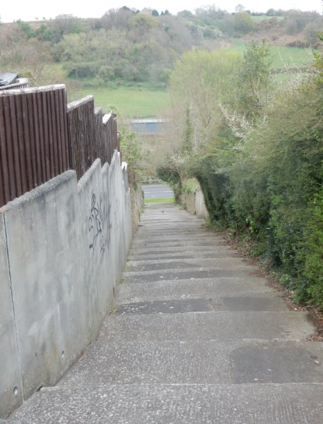
... and from the bottom. Again photographed in 2022.