stiby road
stiby road
Named after Mayor Henry Stiby
Originally Stiby Road was little more than a footpath or track across open fields and farmland and acquired the name Lower Larkhill Lane. It originally ran from Ilchester Road towards Larkhill Lane (today's Larkhill Road), but stopping a couple of fields short.
During the early part of the twentieth century, when it began to be laid out as a road and houses built, it was named Glyde Road after the Edwin Edsall Glyde, who owned the land (inherited from his gentleman father John Glyde) at this time. There was, however, confusion between this name and Lyde Road and as a consequence Glyde Road was renamed Stiby Road in honour of Henry Stiby, who was mayor of Yeovil from 1904 to 1905.
As will be seen from the aerial photograph below, taken in 1946, at this time Stiby Road only reached as far as Marl Close. The road and associated housing, including St Anne's Gardens, Freedom Avenue, Springfield Road and St Patrick's Road, was mostly completed during the 1950s and 1960s.
gallery

This aerial photograph of 1946 shows Stiby Road only half built. At far left Larkhill Road runs diagonally with a track leading to a farm. At far right Ilchester Road runs diagonally across the top corner. Stiby Road, relatively newly constructed, ends at Marl Close.
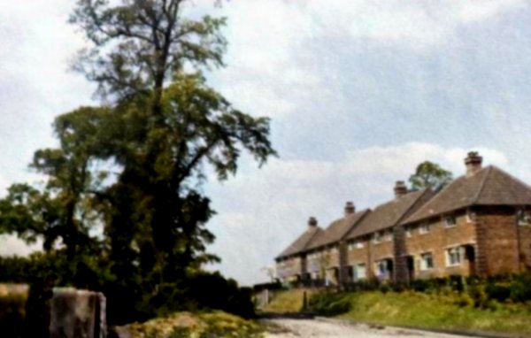
Stiby Road, in a colourised photograph of the 1950s.
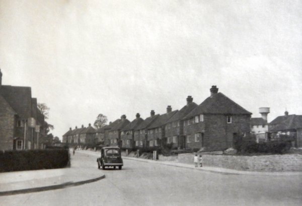
Again, photographed in the 1950s, this is Stiby Road as seen from Westfield Road.
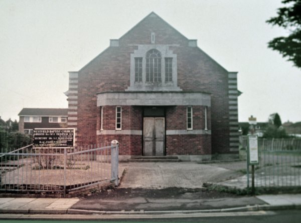
The Westfield Baptist Chapel in Stiby Road, photographed in 1987 shortly before demolition. It is now the site of Lockwood Court.
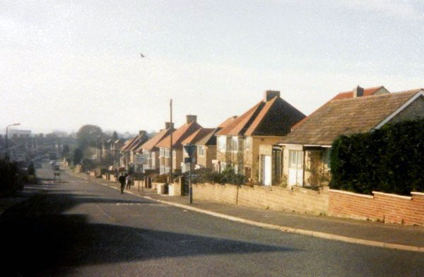
The eastern end of Stiby Road, photographed in February 1998.
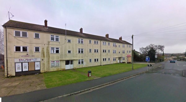
The flats and shops at the west end of Stiby Road, recently demolished for new housing. Photographed in 2008.
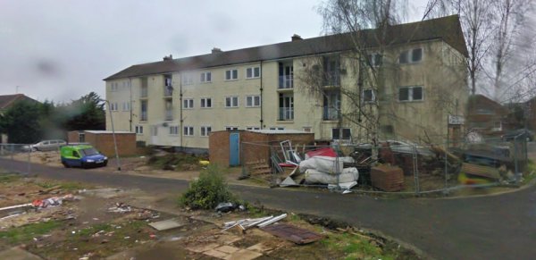
The rear of the above flats photographed in 2008 from the demolished St Anne's Gardens.
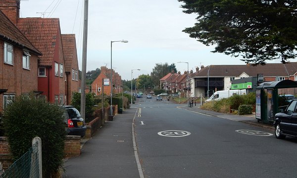
Stiby Road, looking west to the junction with Westfield Road and Coronation Avenue. Photographed in 2016.
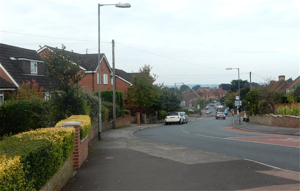
The eastern end of Stiby Road seen from Ilchester Road. Photographed in 2016.