behind the house
behind the house
An ancient field now part of the Recreation Ground
Behind the House was a name given to a field to the immediate north of Picket Witch House, the home of the Vining family and where Richard Vining's brickyard was located.
Behind the House, Parcel No 1084 was bounded to the north by Lower Nobles Nap (1085), to the east by Lower Elm Path (1081), to the south by Picket Witch House and Richard Vining's brickyard and to the west by Marsh Lane. In the northeast corner was a connecting gate to Middle Elm Path (1086)
The 1842 Tithe Map and the 1846 Tithe Apportionment recorded Behind the House (1084) as being exactly three acres and was noted as arable, that is, suited to the plough and for tillage and therefore used for producing crops.
Today most of Behind the House is taken up with the Ryalls Park Medical Centre, a small car park adjacent to the running track in the Yeovil Recreation Centre and Pickett Lane at its southern end.
map
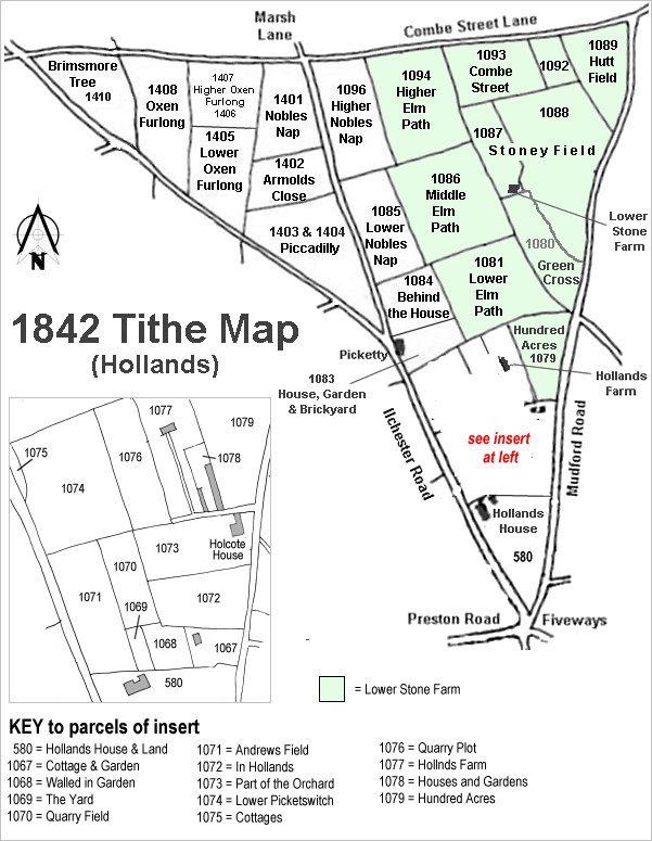
The Hollands area reproduced from the 1842 Tithe Map. Behind the House is right of centre.
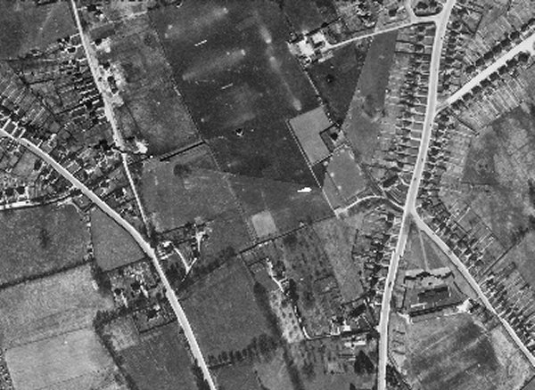
The 1946 aerial photograph showing Behind the House at left of centre with what appears to be a couple of trees at top centre.
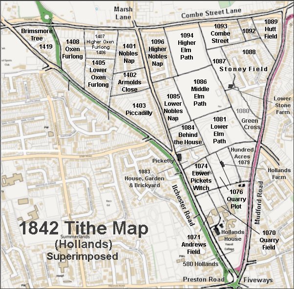
The 1842 Tithe Map superimposed over a modern map.
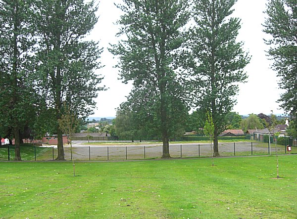
The northeast corner of Behind the House (beyond the fence), seen from the southeast corner of Middle Elm Path. Photographed in 2014. The roof of the Ryalls Park Medical Centre is glimpsed at extreme right.