great mead
great mead
An ancient meadow alongside the River Yeo
Originally called Lyde Mead on Philip Byles map of 1653, and called simply 'The Meadowe' in the accompanying survey, by Victorian times this large field in the extreme northeast corner of Yeovil was known as Great Mead (Parcel 893). A separate section of the field, called 'In Great Mead' (Parcel 892) lay south of Lyde Gurl.
The word 'mead' comes from the Old English 'maed'. Before grass seeds were obtainable this was the only hay land of the community. It usually consisted of land near streams since that was the only kind of land on which hay grew in any quantity.
Slight boundary changes reduced its overall size from 18a 3r 13p in the 1653 survey to 13a 1r 13p in the 1846 Tithe Apportionment which also noted its use, unsurprisingly, as meadow - grassland not regularly grazed by livestock but allowed to grow unchecked in order to produce hay. Unfortunately the 1846 Tithe Apportionment did not included details of the owner or occupier of Great Mead (Parcel 893) or In Great Mead (Parcel 892).
Great Mead (Parcel 893) was bounded in the east by the River Yeo, to the north by Lyde Gurl, to the west by Hanging Ground (Parcel 909) and Eight Acres (Parcel 910). To the south it was bounded by Hornett's (Parcel 891) with which it may have, at one time, been combined.
The 1927 Ordnance Survey shows that there was a 600 yard rifle range running along the field alongside the steep sides of Linches to the west.
Today it remains one of the very few Yeovil fields to survive - hopefully its low elevation in the flood plain of the River Yeo will prevent it being built on by the ever-encroaching Wyndham Park.
maps
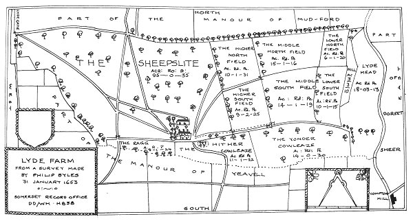
Philip Byles' map of Lyde Farm dated 31 January 1653. Spear Bed was later partitioned out of the southeast corner of 'Yonder Cowleaze' at bottom right.
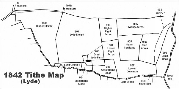
The Lyde area reproduced from the 1842 Tithe Map. Great Mead is at extreme right.
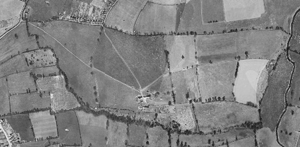
The 1946 aerial photograph of Great Lyde Farm.
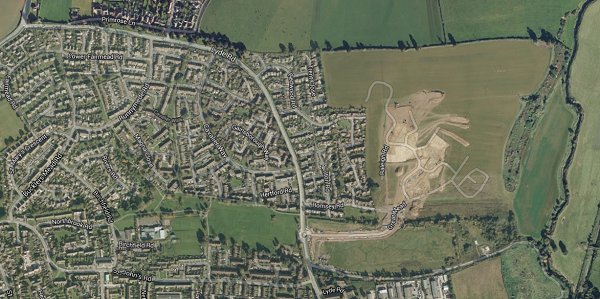
The same area today 'borrowed' from Google maps and taken around 2010 when the groundworks for Wyndham Park were being started.
The 1842 Tithe Map superimposed over a modern map.
gallery
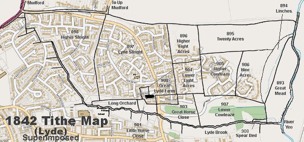
A Google Earth view of Great Mead at centre, looking west. The River Yeo runs along the bottom of the photograph and Linches (894) is the steep, rough ground to its immediate west. Beyond that, from left to right, are the gas-venting buildings on the site of Spear Bed (908), the remnants of Lower Cowleaze (907), Nine Acres (906) and Twenty Acres (895).
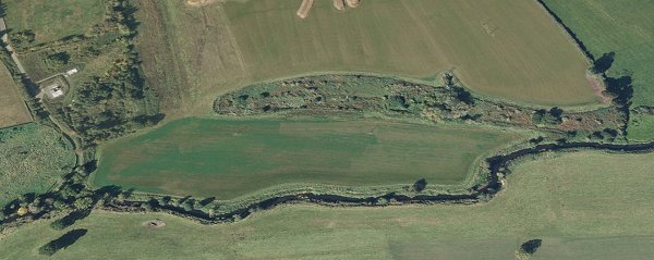
Great Mead, looking north. Photographed in 2016.
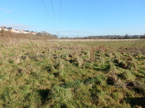
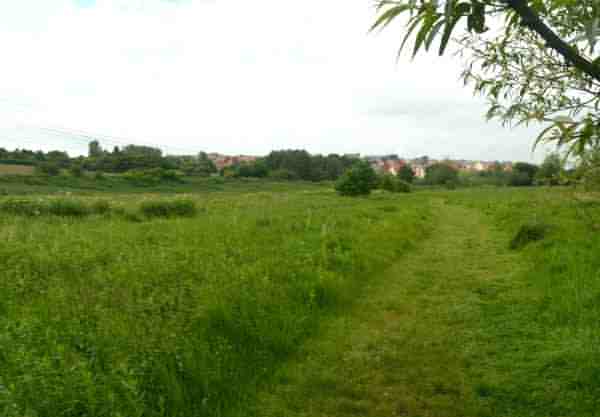
.... and looking south with the River Yeo at left. This photograph was taken from the very northeastern corner of the parish of Yeovil. Photographed in 2016.
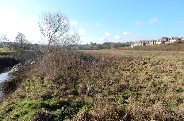
In Great Mead (Parcel 892), looking northwest. Photographed in 2014.