Kingston View
Kingston View
Kingston View is a short cul-de-sac at the eastern end, and on the south side, of Sparrow Road. At its southern end is a recreation ground.
Kingston View first appears on the Ordnance Survey map of 1927, complete with the two blocks of four houses built by the council, one block on either side of the road.
MAP
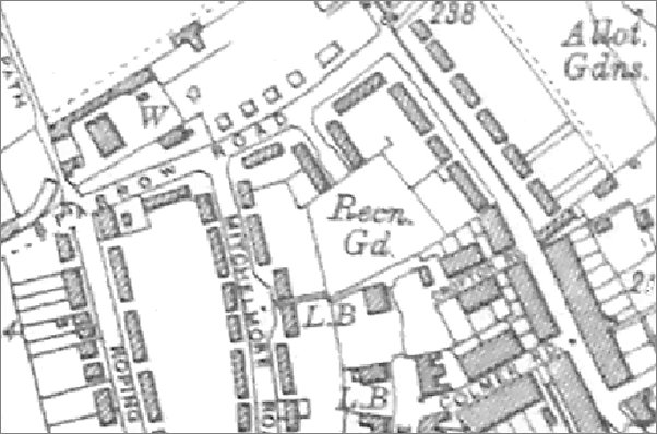
An extract from
the 1927
Ordnance Survey.
Kingston View is
the short
cul-de-sac
between Sparrow
Road and the
recreation
ground. This was
the first
appearance of
Kingston View on
any OS map.
GALLERY
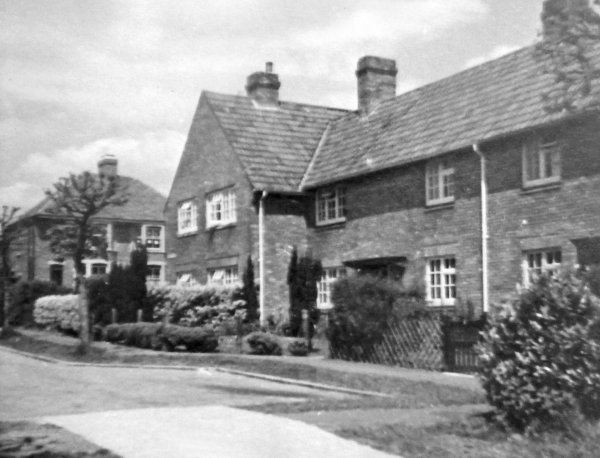
Courtesy of the
South Somerset
Heritage
Collection
The eastern block of houses in Kingston View, photographed in the 1950s, and looking north to Sparrow Road.
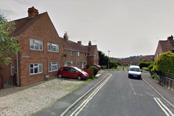
Kingston View, looking south from Sparrow Road. At left is the block of houses seen in the monochrome photo above.